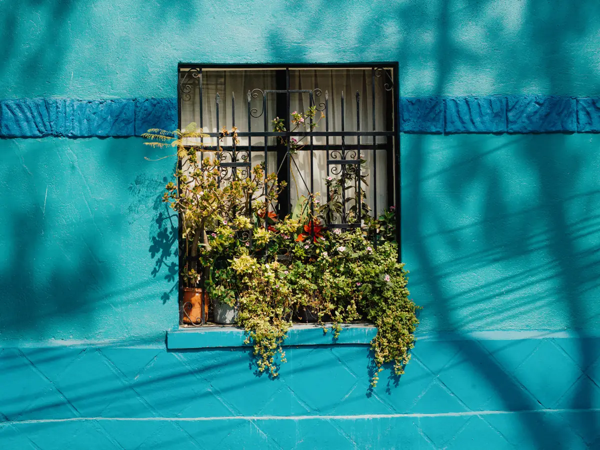
Oranjestad, on your own time
About 2–3 hrs12 stops · full loop
Enter your tour code to open the walk.
It's in the message we sent you. You'll only need it once on this phone.
Pick one to begin. Your place is saved as you go.
Not open yet.
A 12-stop loop from parking back to parking, through four food stops, Taste My Aruba and five downtown sights. Walk at your own pace; every food order is your choice.
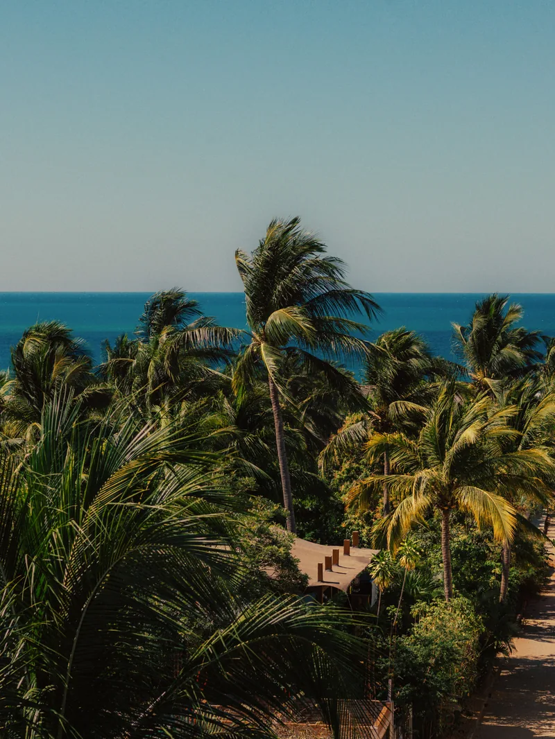
Parking · start
Parkeerplaats · Oranjestad, Aruba
Begin at the parking pin saved on your Aruba Eats map. This is also your return point at the end of the loop.
Good to knowYour map recommends Renaissance-area public parking. Check signs, fees and access before leaving your vehicle.
From here, open walking directions to CRAVE on Wilhelminastraat. Bring water and sun protection; check the food stops’ opening hours before setting off.
Mood image · not a photo of this stop.
CRAVE Coffee Shop & Restaurant
Wilhelminastraat 21, Oranjestad, Aruba
Begin on Wilhelminastraat with a coffee or a light breakfast. Settle into the pace of downtown before making your way to Main Street.
Good to knowThis is a four-stop tasting walk, so order lightly if you want to try something at every stop.
On the way: look at the colorful façades along Wilhelminastraat, then turn toward the shops and tram tracks on Main Street.
Mood image · not a photo of this venue.
Mint, Lime & Beans Café-bar
Caya G. F. Betico Croes 76, Oranjestad, Aruba
Step into this café in the Anna Catharina Building for a coffee break. Ask what is available today, and enjoy a pause before continuing along Main Street.
Good to knowOpening times may differ on Saturdays. Check today’s hours before leaving your first stop.
On the way: follow Caya G. F. Betico Croes, also called Main Street. Look for the tram tracks and the changing storefronts.
Mood image · not a photo of this venue.
Fusion Deli
Main St 49-A, Oranjestad, Aruba
This Surinamese restaurant adds another food tradition to your downtown walk. Take a look at the day’s menu and ask the team what they would recommend.
Good to knowChoose a small order or share if you are saving room for the final stop. Confirm dietary needs directly with the staff.
On the way: keep exploring Main Street. Your last food stop is only a short walk away.
Mood image · not a photo of this venue.
The Pastechi House
Caya G. F. Betico Croes 42, Oranjestad, Aruba
Your final food stop is dedicated to pastechi, Aruba’s filled pastry snack. Ask which fillings are available today, then choose your own final bite.
Good to knowAfter your food stops, you can keep walking through the historic center toward the waterfront.
After this stop: explore City Hall, the Old Protestant Church and Plaza Padu, then continue toward Fort Zoutman and Wilhelmina Park. Open the route screen for pins.
Mood image · not a photo of this venue.
Taste My Aruba at Cas Veneranda
Wilhelminastraat 7, Oranjestad, Aruba
Pause at Cas Veneranda as you walk through the historic center. Taste My Aruba is your evening dining suggestion here.
Good to knowYour route note says after 6 PM. During a daytime walk, use this as an exterior/photo stop; check current hours and reservations before returning to eat.
Continue through the historic center to the Old Protestant Church.
Mood image · not a photo of this stop.
Old Protestant Church
Wilhelminastraat · Oranjestad, Aruba
Take a moment to look at the Old Protestant Church and the surrounding streets before continuing through the center.
Good to knowPlan an exterior/photo stop. Verify visitor access before suggesting entry, and be considerate if services are taking place.
Next, follow walking directions to Plaza Padu.
Mood image · not a photo of this stop.
Plaza Padu
Historic center · Oranjestad, Aruba
Stop in Plaza Padu for a photo and a short pause among downtown’s historic streets.
Good to knowThis is an exterior sightseeing stop. Take your time, then continue toward City Hall.
Next, look for the historic City Hall façade.
Mood image · not a photo of this stop.
City Hall
Historic center near Wilhelminastraat · Oranjestad, Aruba
Pause outside City Hall and take in the building’s façade. This stop is about the architecture and streets around it.
Good to knowPlan an exterior/photo stop. Public office access is separate from the walking route.
Continue toward Fort Zoutman and the Willem III Tower.
Mood image · not a photo of this stop.

Fort Zoutman & Willem III Tower
Museo Histórico Aruba · Zoutmanstraat, Oranjestad
Look for Fort Zoutman and the Willem III Tower, two landmarks to pause at before heading toward the waterfront.
Good to knowGoogle Maps marks the museum temporarily closed, checked October 31, 2026. Plan an exterior/photo stop and verify access before planning to enter.
Next, continue toward Queen Wilhelmina Park for the waterfront portion of the loop.
Mood image · not a photo of this stop.
Queen Wilhelmina Park
L.G. Smith Boulevard · Oranjestad, Aruba
Slow down by the waterfront. Look for the Queen Wilhelmina and Anne Frank statues as you explore the park.
Good to knowLeave time for a photo pause. This is the last sightseeing stop before returning to your starting point.
Use the final walking directions to return to the same parking pin where you began.
Mood image · not a photo of this stop.
Parking · finish
Parkeerplaats · Oranjestad, Aruba
You have reached the parking point where the route began. Take a moment to check that you have everything before heading off.
Good to knowYour full route has 12 stops: parking at both ends, four daytime food stops, Taste My Aruba, and five sightseeing stops.
Open the route overview to revisit any stop, then leave your feedback on the final screen.
Mood image · not a photo of this stop.
Start and finish at the same parking pin. The route includes four daytime food stops, Taste My Aruba as an exterior stop or evening suggestion, and five sightseeing stops.
Allow roughly 2–3 hours with food and photo pauses; this is a planning estimate. A sit-down dinner or museum visit takes extra time. Full-loop distance and time should be checked in the walking links below.
Open each part as you reach it. Each stop card also has directions from the previous stop.
Part 1 · Parking → food stops ↗Part 2 · Pastechi House → City Hall ↗Part 3 · City Hall → parking ↗The saved map has 11 unique places; this app counts the same parking pin twice, as start and finish. Directions need a connection. Sunday food replacements and final menu selections are pending.
Tell us what worked, what you ate, and what you would change. Roughly what you spent and how long the walk took will help us improve the route.
Masha danki. Thank you for walking it first.